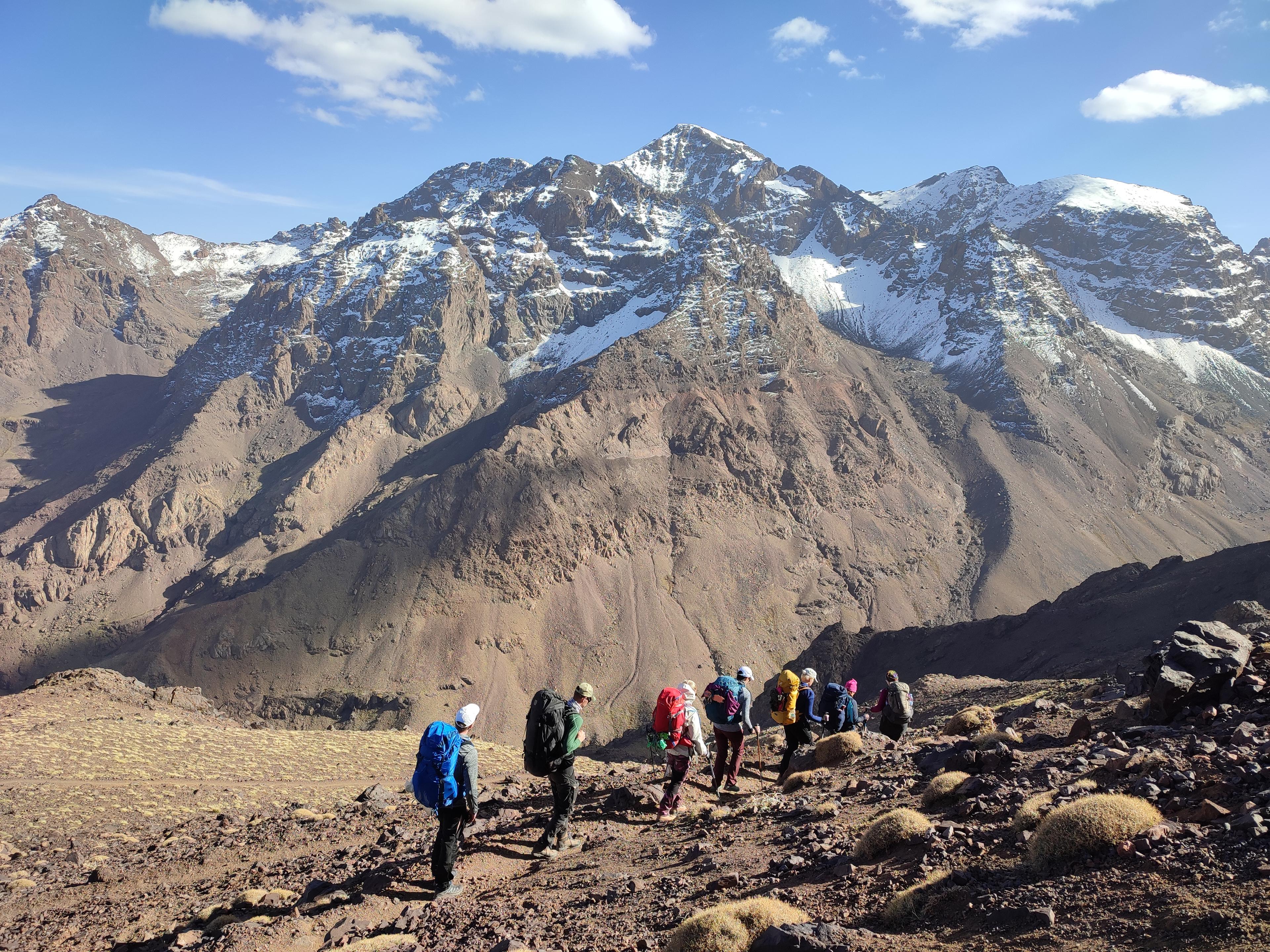
trekking
High Atlas Trekking Packing List: Essential Gear for Mount Toubkal & Berber Trails
A comprehensive gear and clothing checklist for trekking in Morocco: alpine boots, layering systems, sleeping bags for stone refuges, and seasonal hardware.
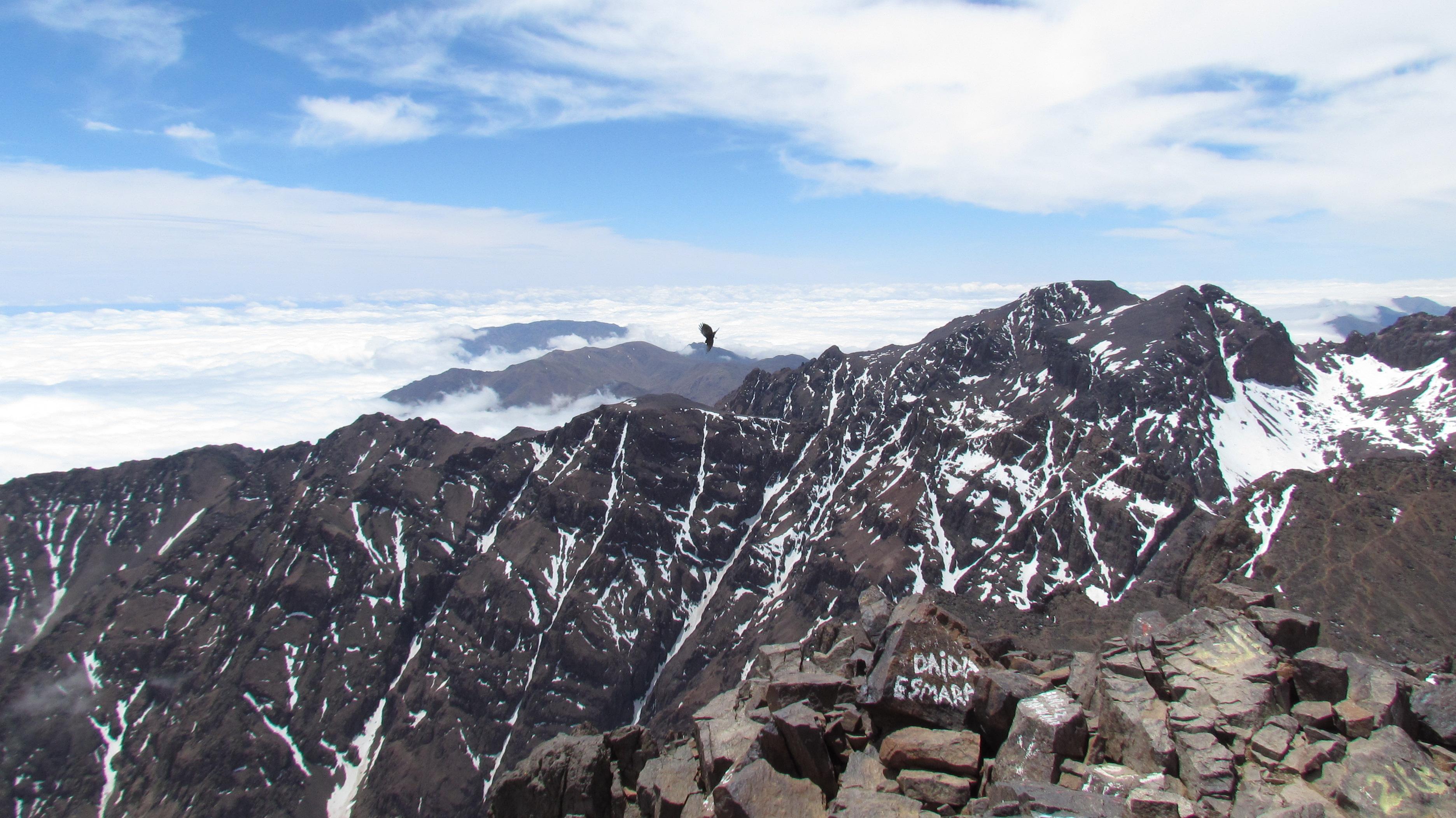
At 4,167 metres above sea level, Mount Toubkal stands as the undisputed crown of North Africa. On a clear morning from the summit, the panorama is genuinely staggering: ridge after ridge of High Atlas peaks unrolling westward toward the Atlantic, and on exceptional days, the shimmer of the Sahara Desert haze far to the south. It is one of the most accessible serious peaks on the continent — and one of the most rewarding.
I have guided this mountain more than a hundred times. Each ascent is different. The light changes, the snow line shifts, the wind arrives without warning. But the fundamentals remain the same, and understanding them is what separates a transformative summit from a miserable survival exercise.
The best windows for Toubkal are spring (April–June) and autumn (September–November). In both seasons, the trails are clear of heavy snow, the temperatures are manageable, and the mountain reveals its full, dramatic character. Summer (July–August) is viable but hot in the lower valleys, and the refuge can be crowded. Winter ascents (December–March) are for experienced mountaineers with crampons, ice axes, and proper cold-weather kit — the upper slopes become a serious Alpine proposition.
My personal favourite time is mid-October. The crowds thin after the summer peak, the air has crystalline clarity, and the Atlas light at sunrise — when you're standing at 4,167m and the world below is still sleeping in shadow — is unlike anything I can describe adequately in words.
The journey begins in Imlil, a compact Berber village at 1,740m that serves as the gateway to the Toubkal massif. From here, the path follows the Ait Mizane valley upward through a series of smaller villages — Aroumd, then Sidi Chamharouch, where a small whitewashed shrine clings to a boulder above a rushing stream. Pilgrims visit Sidi Chamharouch year-round; it is a reminder that these mountains are not only a wilderness but a living landscape for the Amazigh people who have called them home for millennia.
Above Sidi Chamharouch, the valley opens dramatically. The path steepens and the vegetation thins. Juniper gives way to sparse alpine grasses, then scree. The Toubkal Refuge appears at 3,207m — a utilitarian stone mountain hut capable of sleeping around 80 people in its dormitories. In peak season it fills quickly; book in advance. The hut serves simple, filling food. Eat well, hydrate thoroughly, and sleep early.
A 4:00 AM wake-up is non-negotiable if you want the summit to yourselves and the sunrise. Headtorches on, layers zipped, trekking poles ready. The path above the refuge ascends the South Cwm, a broad glacially-carved bowl that funnels you toward the South Col. In winter this section requires crampons. In summer it is loose rock and scree — relentless but manageable.
The South Col at roughly 3,900m delivers your first full view of the summit pyramid. Here the exposure increases and the wind, if it is blowing, is felt properly for the first time. The final ridge to the summit cairn takes another 45 minutes of concentrated effort. And then you are there.
The summit is marked by a metallic triangular tripod marker. To the north, Marrakech is sometimes visible as a faint shimmer in the Haouz Plain. To the south, the landscape dissolves into the pre-Saharan steppes. To the east, the ranks of Atlas ridges are extraordinary — a geology lesson written in rock and shadow. Give yourself at least 30 minutes here. You have earned every second of it.
Toubkal demands respect. Even in summer the summit temperature can drop to near freezing, and weather can turn within an hour. Pack a proper insulating mid-layer, a wind and waterproof shell, gloves, and a warm hat. Good walking boots with ankle support are essential — the scree on the upper mountain is ankle-twisting terrain in trail runners. Trekking poles are highly recommended; they save the knees on descent.
Carry two litres of water from the refuge and refill at the stream below Sidi Chamharouch on the descent. Pack high-energy snacks for the summit push — the refuge breakfast will carry you to the col, but energy gels or bars are useful insurance.
Toubkal is not technically difficult, but it requires solid aerobic fitness and caution regarding altitude. The ascent climbs over 2,400 vertical metres from Imlil. Altitude sickness (AMS) can manifest above 3,000m: monitor for persistent headaches, nausea, or dizziness. Pacing is everything: walk at a slow, conversational tempo (*shwiya b shwiya*, slowly slowly, as we say in Morocco). Drink at least 3.5 litres of fluids daily.
Following Moroccan national park regulations, all international trekkers on Toubkal must be accompanied by a licensed mountain guide (*Guide des Espaces Naturels* certified through CFAMM in Tabant). Beyond Morocco guides are native Amazigh mountaineers with decades of experience on these exact ridges.
Field Contributor
Hassan Aziz (CFAMM Guide)
Native guide and outdoor expedition specialist with Beyond Morocco. Dedicated to responsible travel and authentic mountain exploration across North Africa.
Experience This Landscape
Ascend North Africa’s highest peak (4,167 m) via the South Cirque route with certified Berber mountain guides.
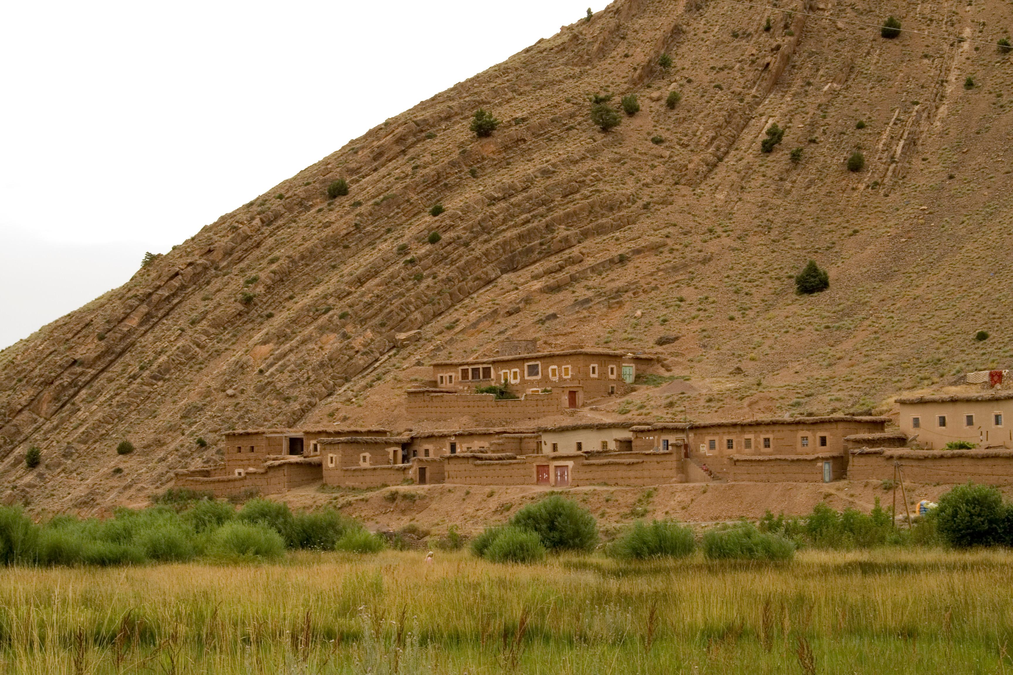
Five days of authentic valley and ridge trekking through remote Berber settlements in the Aït Bouguemez Happy Valley.
From Our Field Journal
A comprehensive gear and clothing checklist for trekking in Morocco: alpine boots, layering systems, sleeping bags for stone refuges, and seasonal hardware.
A deep dive into Central High Atlas pastoral trekking, dinosaur fossil plateaus, and village homestays beneath the M’Goun peaks.